Beautiful Waterfalls in New York State
I love waterfalls! The power behind the ever moving water is always thrilling to me. Here, I have listed waterfalls I’ve been to since 2005, my first move to New York State. I am always on the hunt for either a good hike to a waterfall, or a scenic drive to a roadside waterfall. My goal is to see Kaaterskill Falls in the Catskill Mountains, but until I make it there I will reminisce about the others I’ve already seen. I have listed them in alphabetical order by county.
Albany County
Thacher State Park
Minelot Falls
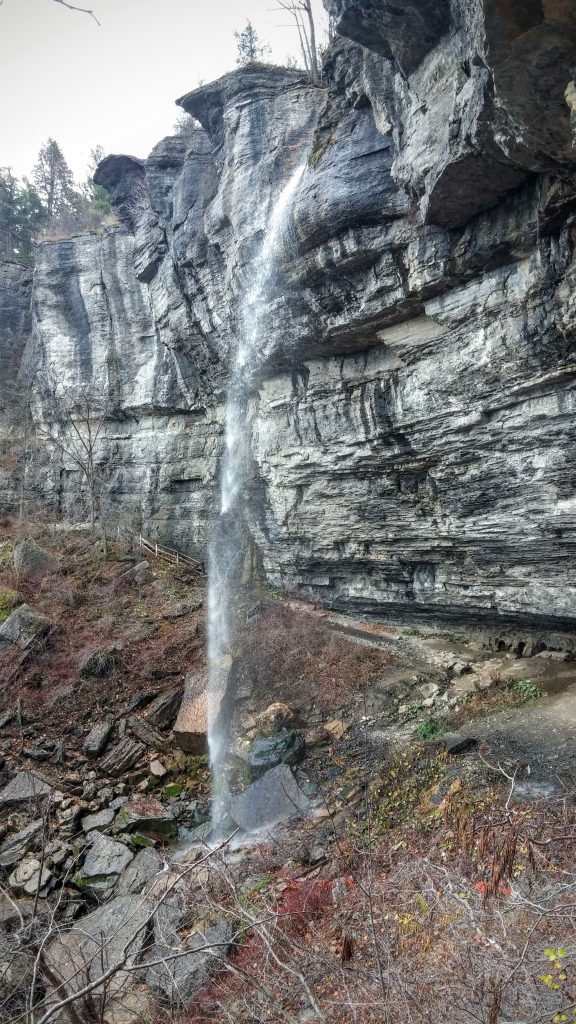
Outlet Falls
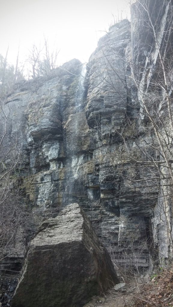
Upper Minelot Falls
I loved watching the little duck in this photo make her way all the way up the falls like she was taking stairs.

Thacher State Park Photo Album
Niagara County
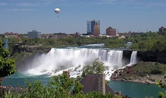
Niagara Falls: American Falls
The height of the falls is measured two ways. One way of measuring the height is from the top of the falls to the rock pile (talus slope) at the bottom. This measurement fluctuates from 70-110 ft depending on the height of the talus. Another way to measure the height of the falls is from the top of the falls to the river. A couple sources give the height of 183 ft, but the majority of databases regarding New York State waterfalls list its height as 188 ft. A view looking across Niagara River from Niagara Falls, Ontario, Canada – 2006.
Saratoga County
Beecher Creek Falls
Not a lot of information exists about this waterfall. It is upstream from the Historic Copeland Covered Bridge and has easy access for viewing the waterfall – August 2017.
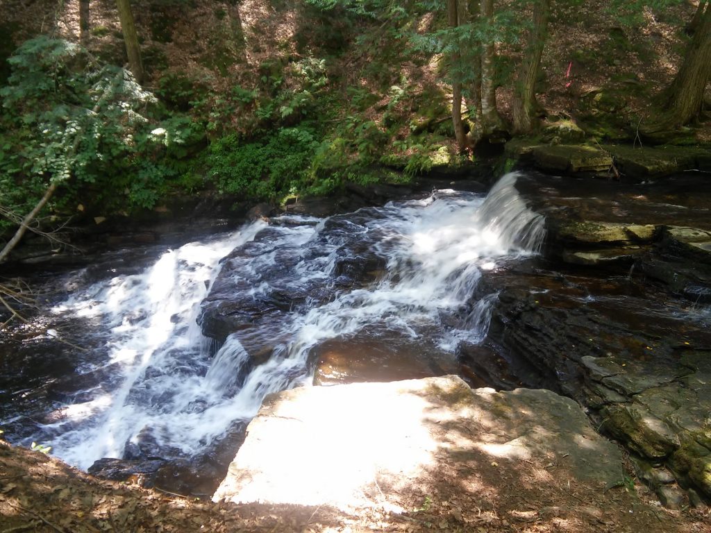
Rock City Falls
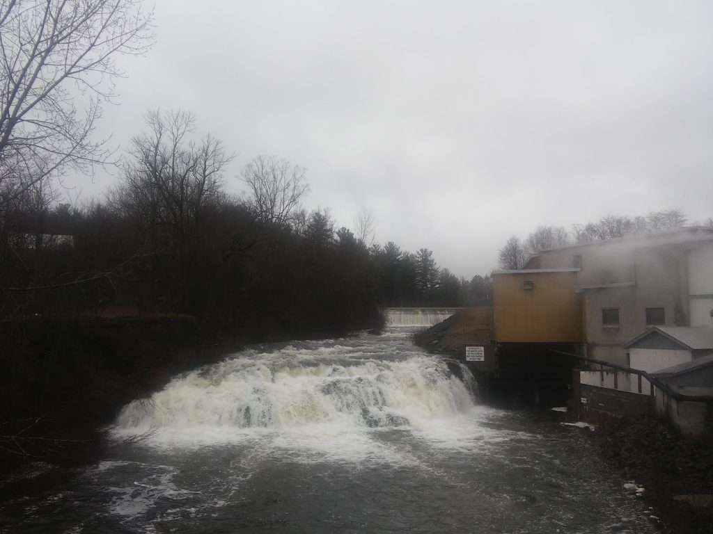
“Big Falls” on the Kayaderosseras Creek, behind Cottrell Paper Company – April 2017.
Saratoga Spa State Park: Geyser Creek Falls
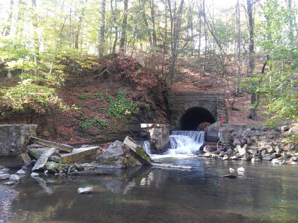
A place I frequent so much, that it doesn’t always occur to me that there is a waterfall on Geyser Creek. I don’t think I have ever seen it marked on a park map, but there is no denying the waterfall near the stairs on the Vale of Springs Trail. The first time I ever saw the falls I was actually paying attention to the long lost Champion Spring, which I have never seen again. The ruins from an old viewing platform makes for an interesting scene, trying to figure out exactly how it once looked. If this waterfall has a name, I do not know what it is.
Tompkins County
Buttermilk Falls State Park
Buttermilk Falls
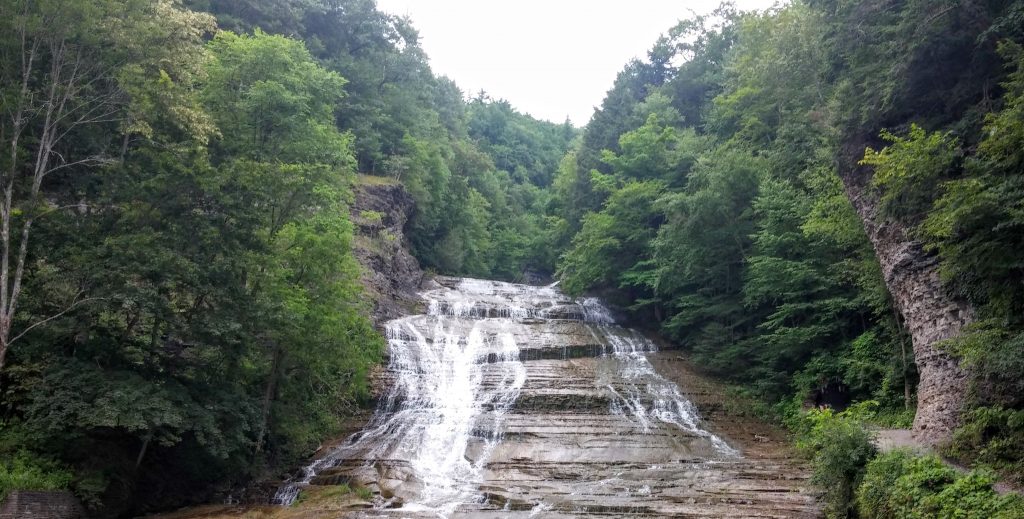
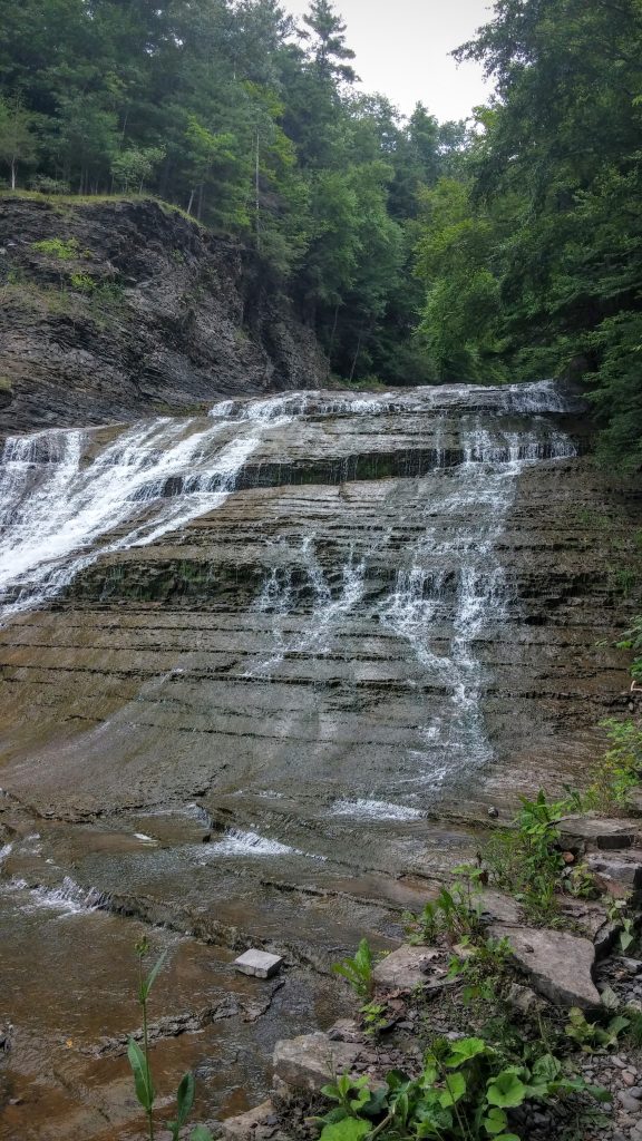
Immediately satisfied by the sight of rushing water, churning down eroded shale. In the summer heat we climbed the stairs of the Buttermilk Gorge. A grand display of time – July 2015.
i felt the cool water
rushing over the rocks edge
on my face and hands
swirling around my feet.
recklessly.
- The gorge has ten waterfalls along a 3/4 mile hike, mostly up, with a lot of stairs.
- You can swim at the bottom of the main falls, but in intense summer heat you will find humans swimming anywhere they can get.
Taughannock Falls State Park
Quick Facts (Gathered from a sign at the Falls Overlook) – July 2015
- Taughannock Falls is 215 feet high, the tallest free-falling waterfall in the northeastern United States.
- Using frost and floods as tools, Taughannock Falls has chiseled its canyon for at least 12,000 years.
- In winter, wet rocks freeze and fracture around the waterfall and the gorge walls.
- The frost-fractured rocks crash from the cliffs any time of year, widening and lengthening the gorge.
- “Taughannock” means “in the trees” in the Algonquin language. It may have been the name of an Indian Warrior who staged a raid here on the Cayuga people during the Colonial period.
- Glaciers dug Cayuga Lake, setting the stage for Taughannock Falls to cut its gorge.
- Two million years ago, there were no Finger Lakes and no Taughannock Falls. Instead, there was a system of shallow river valleys where the lakes are today. Several times over the two-million year period, New York State was bulldozed by vast continental ice sheets or glaciers, thousands of feet thick. The glaciers plowed through the river valleys, transforming them into deep troughs with steep sides.
- The most recent glacier melted from the region 12,000 years ago leaving Cayuga Lake and the ten other Finger Lakes in the deep glacial troughs. Dammed by glacial deposits to the south and the retreating glacial ice to the north, the melting water filled the steep-sided troughs.
- As the glacier moved north, the level of Cayuga Lake began to drop. Today, the lake’s elevation is 600 feet lower than the ice-dammed lake.
- At first, Taughannock Creek plunged directly into Cayuga Lake. Ripping at the weak, glacially steepened shale cliff stone by stone, the hillside yielded to Taughannock’s tireless flow. The spectacular waterfall has eroded its grand gully back from Cayuga Lake for ¾ of a mile.
Taughannock Falls
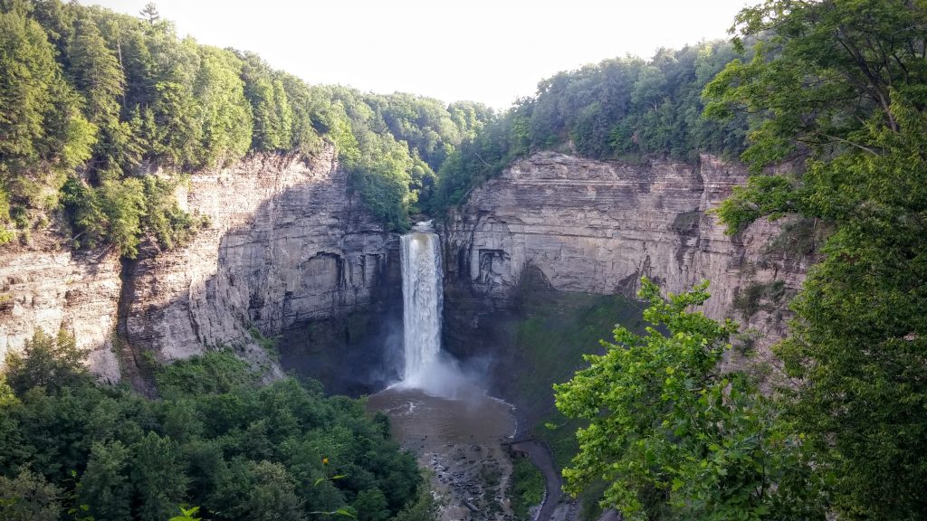
Upper Taughannock Falls
It’s difficult to capture the scope of the Upper Falls on Taughannock Creek so I’m sharing a couple photos from the top of its cascade to it plunging down below the bridge I was standing on.
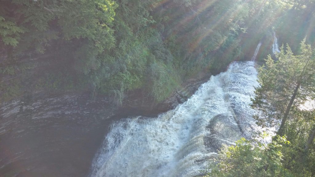
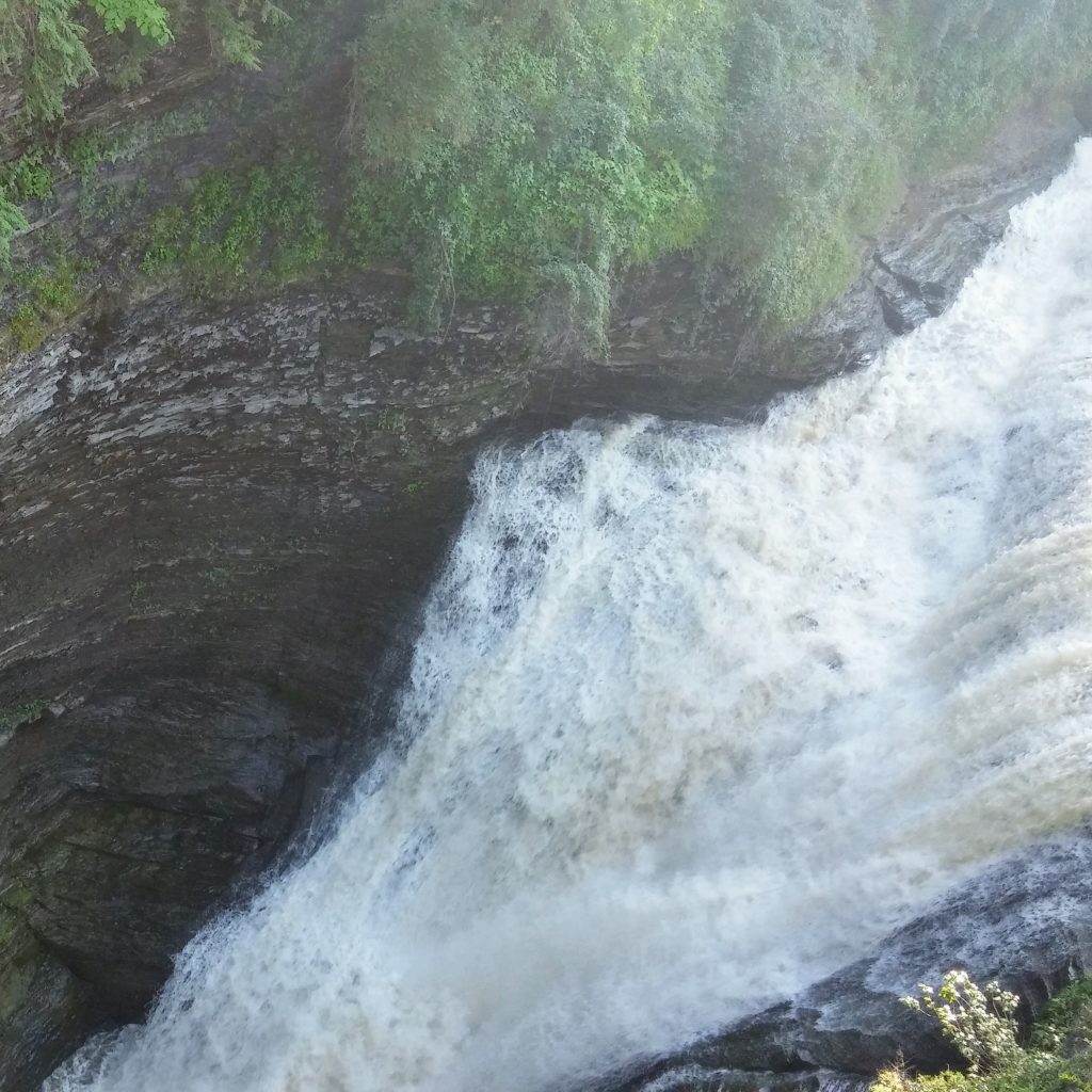
Waterfalls along Falls Creek
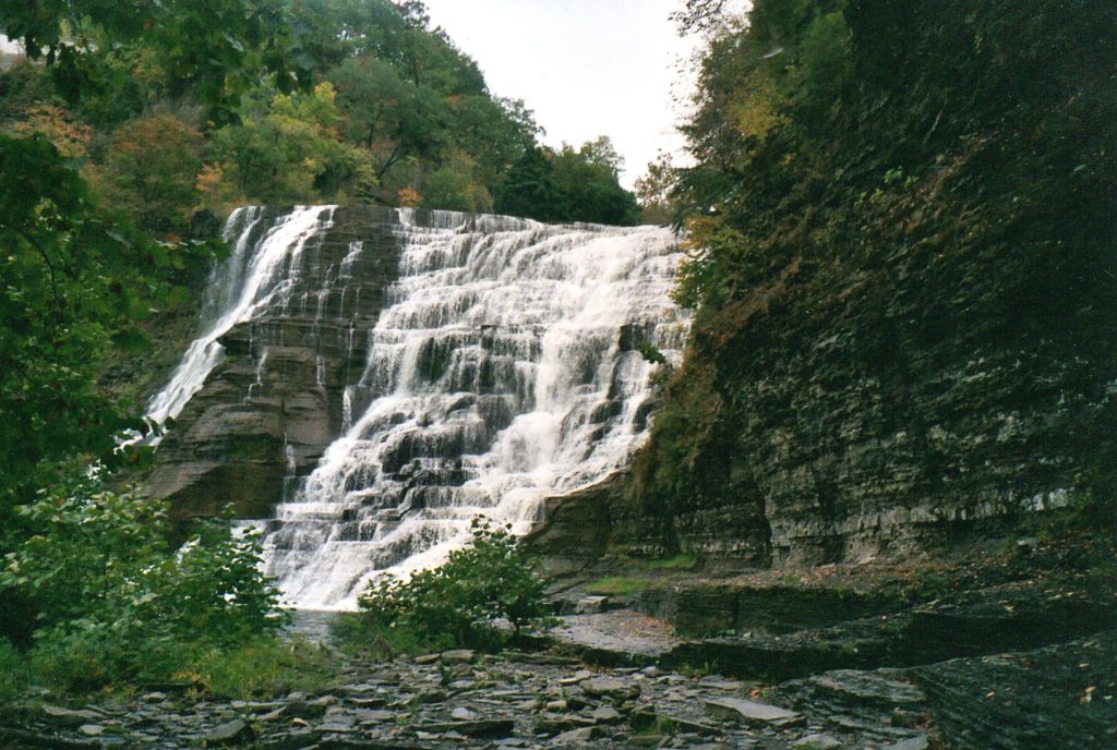
Ithaca Falls
I had made a special trip to Ithaca Falls to take pictures for my nephew Trevor. He was in grade school doing the Flat Stanley Project, and I think I lived the farthest away from where he lived. I’m fairly certain this was in October 2005, and a scan of an actual photograph.
Rocky Falls
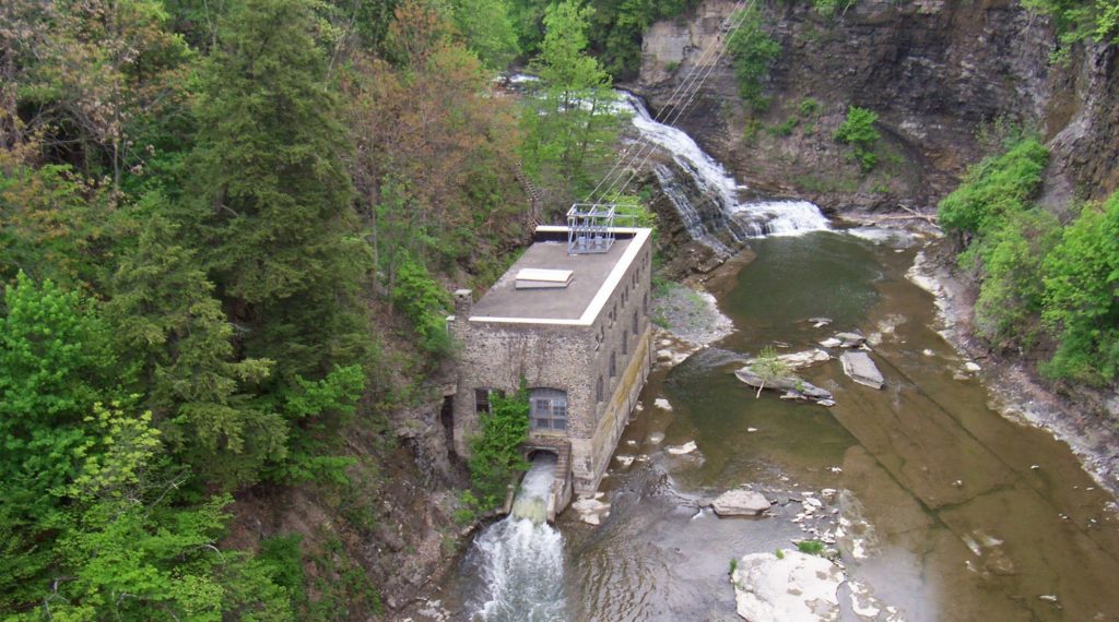
A view of the Cornell Hydroelectric Power Plant & Rocky Falls from a suspension bridge over Fall Creek – May 2006.
Triphammer Falls
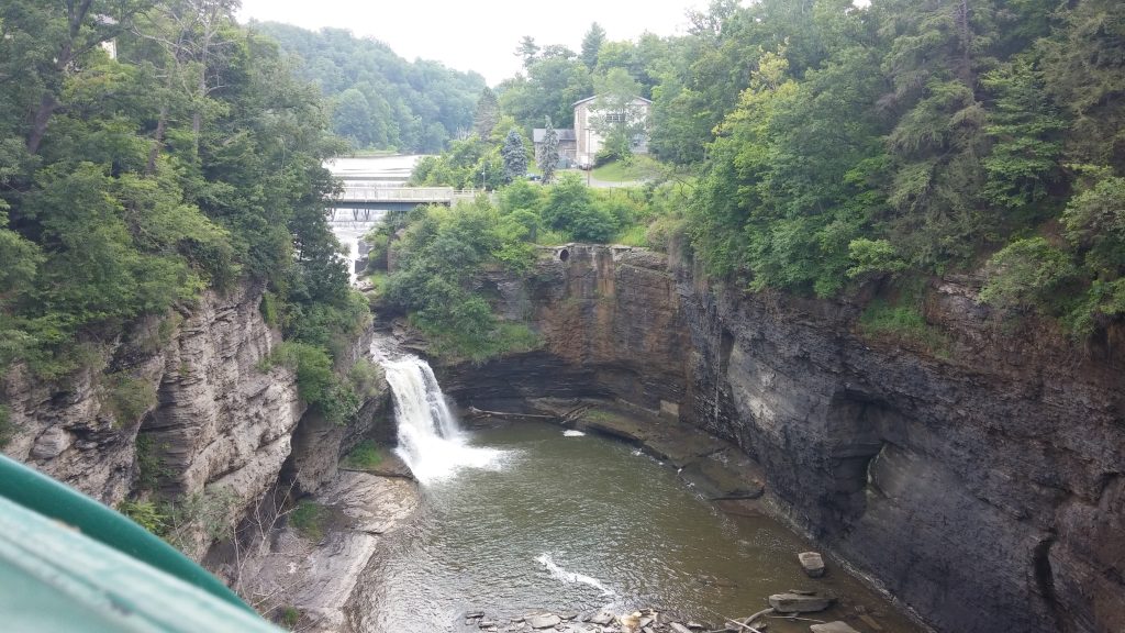
Another waterfall on Cornell campus – July 2015. In the past, there was a hydroelectric building along the cliff wall on the right side of the waterfall. I’m not sure when it was fully demolished, but I remember it was there when Nathan and I lived in Ithaca.
Warren County
Glens Falls: Great Falls
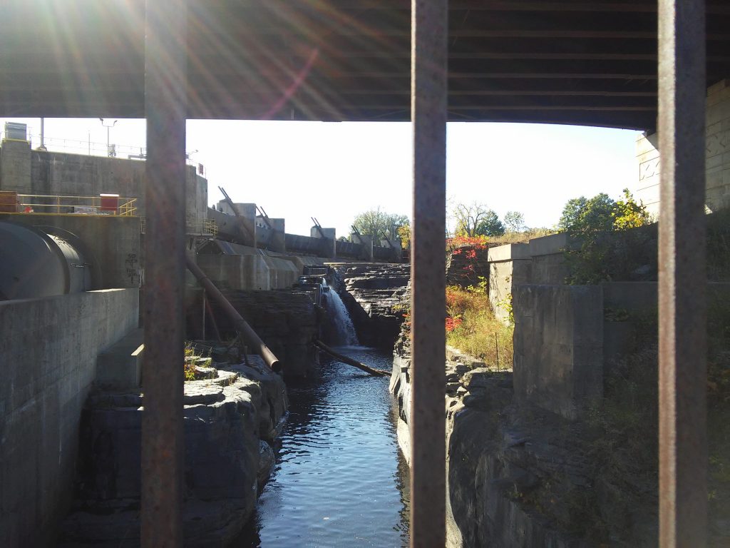
I was interested in visiting Cooper’s Cave, and I honestly didn’t know I was seeing Glens Falls when I was taking pictures – October 2017.
- Glens Falls can be viewed from either side of the Hudson River, or from the bridge that crosses the falls (Route 9).
- The water flow is controlled by a power dam, so there are times when no water flows at all.
- Mohawk called the site of the falls Chepontuc, meaning “a difficult place to get around.”
- The Glens Falls area, originating as a mill town called Wing’s Falls, has used the falls for its power since the middle of the 1700s.
- American author James Fenimore Cooper got inspiration for his novel The Last of the Mohicans from a cave at the bottom of the falls.
- “The scene of unspoiled wilderness he described in The Last of the Mohicans came from his imagination – not what he actually saw.”
Natural Stone Bridge & Caves: Sawmill Site Falls
Additional Information
Information shared was gathered from signs near the different waterfalls.
Northern New York Waterfalls is the database website where I found waterfall height information. Also, there is a lot of information on this site including history and types of waterfalls.
All photos were taken by me, Alicen, or my husband Nathan.