Seven Mountain Summit Hikes
When I first started writing about my adventures back in 2014, I made a random list of hikes I had done in the mountains called, “Eight Northeastern Mountain Hikes.”
I never seem to have enough time to write about all the different places I go and lands I get to explore. This being the case, I decided to make another list in hopes of covering several adventures at once. I have chosen to include only mountains I summited, and only mountain hikes done the years following my 2014 list. Again, all the mountain hikes took place in the Northeast.
One thing that is not obvious from the photos I’ve chosen to share is that every one of these hikes had plenty of other people out on the trails and at the summits.
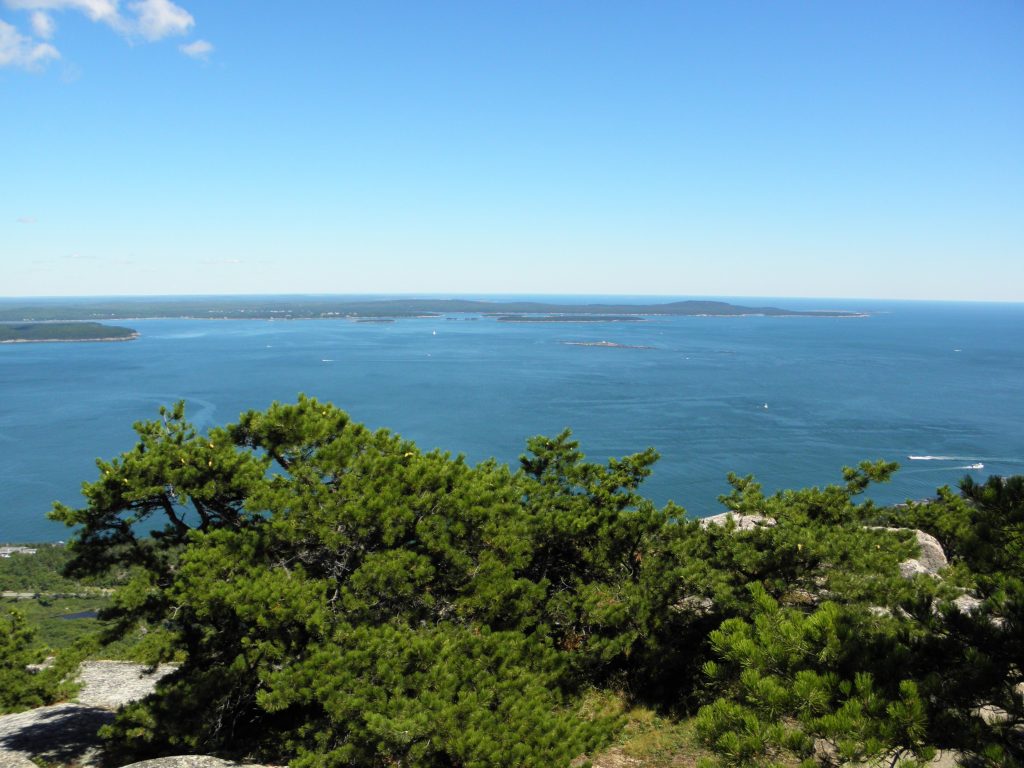
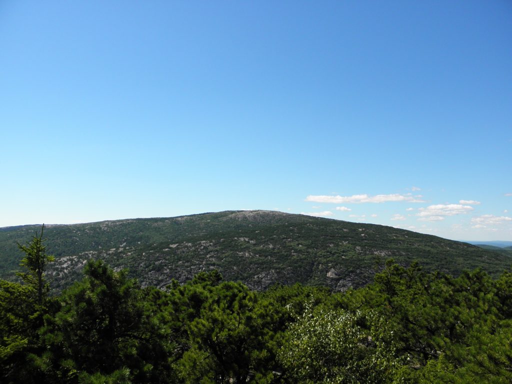
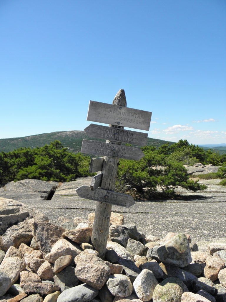
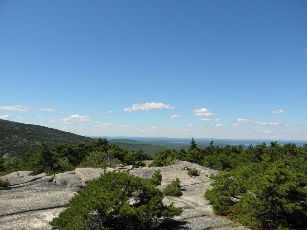
1. Champlain Mountain, Appalachian Mountains
Mount Desert Island, ME – Acadia National Park
Elevation 1,058 ft
August 2016 – Michelle, Jim, Nathan & I summited Champlain Mountain via the Precipice Trail, a rung trail .9 miles long that goes directly up the rock face of the mountain. This hike was strenuous and thrilling!
We followed the Champlain North Ridge Trail back down the mountain. Eventually we came across a trail junction and took the Orange and Black Path, staying to the left when the trail split again, and continued down the mountain. The trail ended at the park road and we walked along the Park Loop Road until we returned to our vehicle.
I’m not entirely sure how many total miles we hiked. One thing I vividly remember is the sun was hard to escape as we climbed up the mountain. I would certainly do this hike again given the opportunity. Photo credit: Nathan Neal
2. Squaw Peak (Monument Mountain), The Berkshires
Great Barrington, MA
Elevation 1642 ft
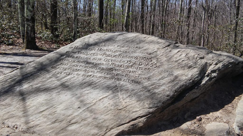
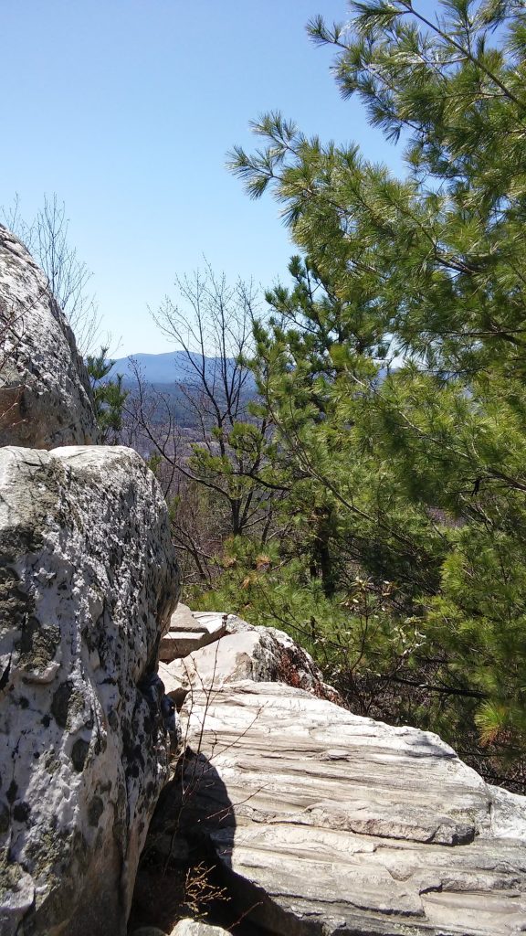
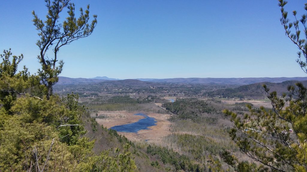
April 2016 – Mélis & I hiked the Hickey Trail to Squaw Peak Trail. Neither of us is certain if we made it to the Devil’s Pulpit, but we definitely made it to the highest point on the mountain! I don’t remember this hike being too strenuous. It did have some steep points, but the overall rewards were great enough to make me think this hike was on the easy side. Again, I’m not sure how many total miles we hiked.
The Melville Trail
Monument Mountain“On August 5, 1850, Stockbridge resident and publisher David Dudley Field invited several literary friends on a picnic hike at this site. Notable guests included Oliver Wendell Holmes, Nathaniel Hawthorne and Herman Melville. A thunderstorm forced the group to seek refuge in a cave where a lengthy and vigorous discussion ensued, inspiring powerful ideas for Melville’s new book, Moby-Dick.
After climbing to the top of the mountain, the assembled drank a toast to Berkshire poet William Cullen Bryant, editor of the New York Post. They then read aloud Bryant’s poem entitled “Monument Mountain.” The day concluded with a dinner at Field’s home.
This famous excursion prompted a series of meetings between Melville and Hawthorne, which quickly developed into a close friendship between the two authors. Melville saw Hawthorne as a great inspiration for his work, and later dedicated Moby-Dick to his friend.”
3. Sleeping Beauty, Adirondack Mountains
Fort Ann, NY
Elevation 2,347 ft
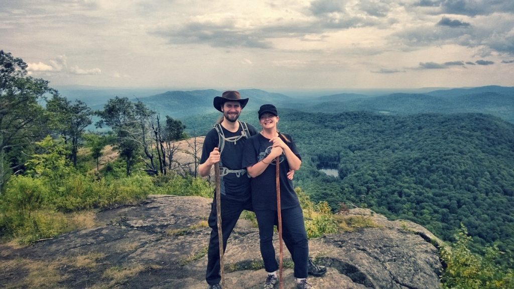
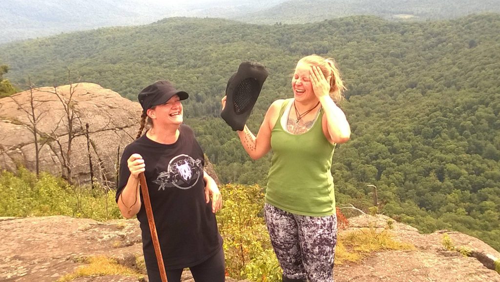
July 2015 – My hiking partners, Nathan & Michelle, don’t generally like to retrace their steps if there is another alternative, so we did a loop hike. There is a false summit with breathtaking views of Lake George and the rolling peaks of the Adirondacks.
I remember this hike being fairly easy for me despite the distance traveled. Overall, the hike was about seven miles, maybe eight.
4. Snow Hole/White Rock, Taconic Mountains
(NY, MA, VT)
White Rock Elevation 2,550 ft
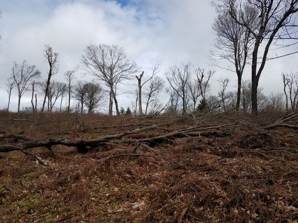
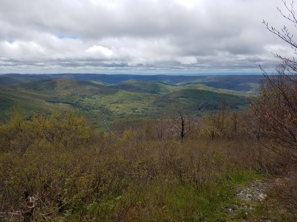
May 2017 – Nathan and I began at Petersburg Pass, NY. I had read that the most strenuous part of the hike was the beginning, and that was very much true. Knowing this made it easy to get through the steep ascent, and I was able to enjoy myself throughout the rest of the hike.
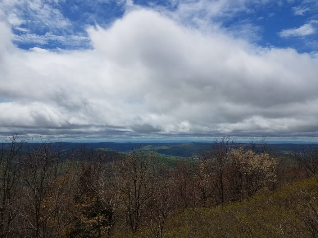
There was never any evidence of summiting mountains except for the views, where you just know you’re at a high point. The highest point on this hike was at the crossover from New York State into Vermont, right along the Massachusetts border.
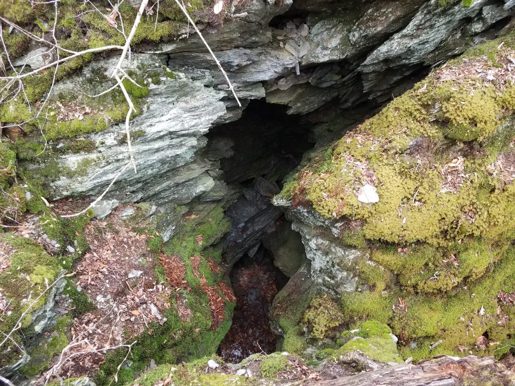
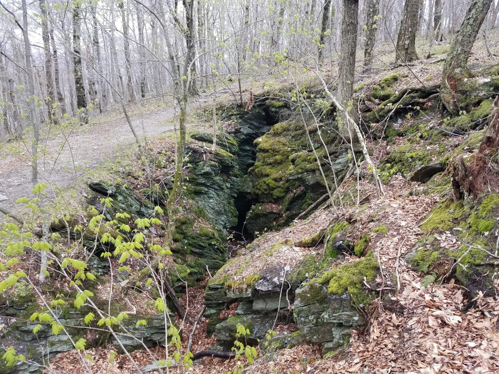
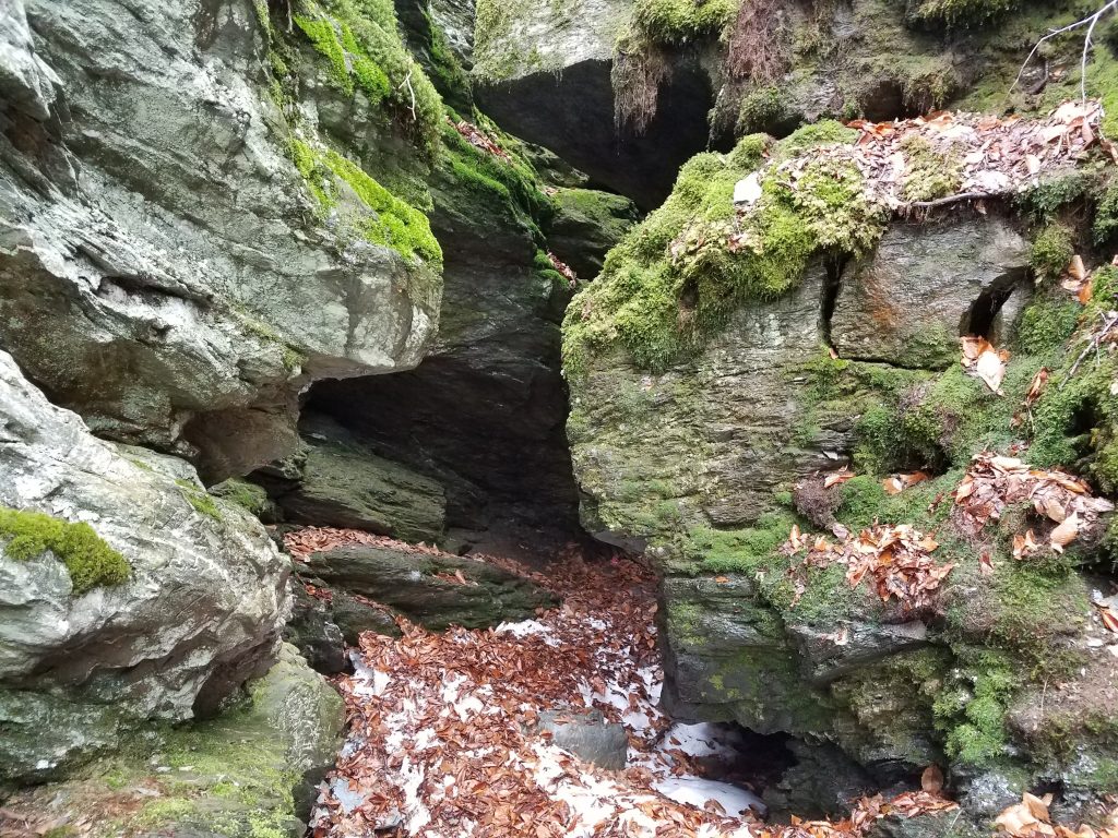
We hiked approximately 6 miles total. This was an unique hike that follows the Taconic Crest Trail and I would definitely do it again. The Snow Hole is a rare geological feature where snow can be found year round. Photo credit: Nathan Neal
5. Hadley Mountain, Adirondack Mountains
Hadley, NY
Elevation 2,654 ft
September 2017 – Michelle, Jim, Nathan & I had planned to hike Cascade Mountain, but on the day we were ready to hike, none of us were really up for the challenge of summiting a High Peak in the Adirondacks. Instead we chose a mountain that was a closer drive, but still had the Adirondack challenge of a steep ascent!
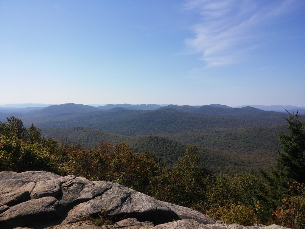
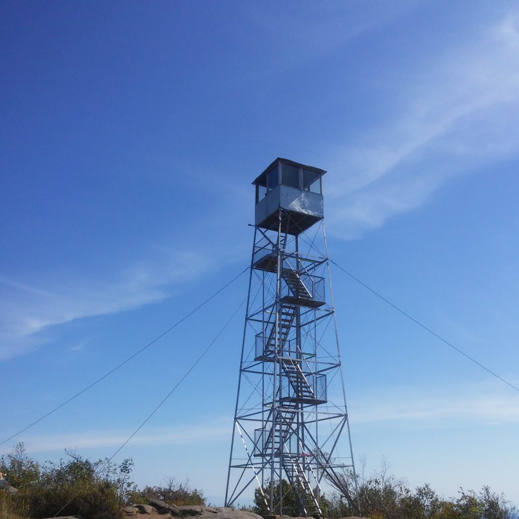
It was the first time I ever went up into a fire tower. I almost chickened out, but with Michelle encouraging me I made it to the top.
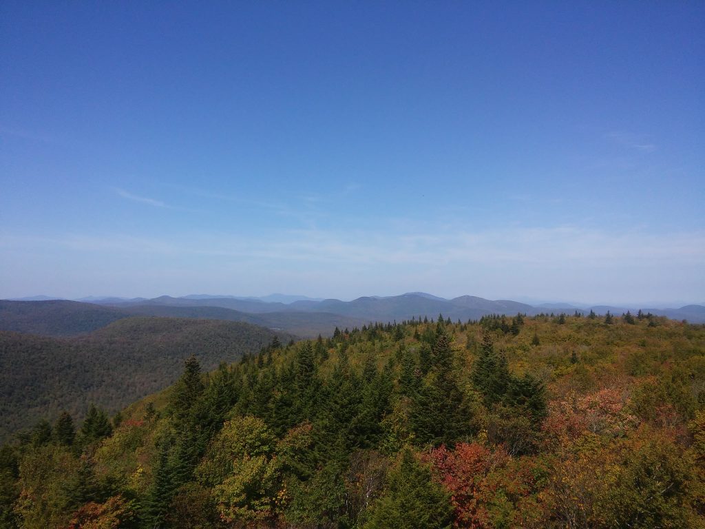
At the top of Hadley Mountain you can see the Great Sacandaga Lake as well as five mountain ranges on a clear day. I overheard a ranger state the different ranges which included the Adirondack High Peaks, Catskills, and Helderbergs in NY, the Green Mountains in VT, and the Berkshires in MA. It thrilled me to learn this because I have hiked in all of these mountain ranges!
It was a warm day, so that part of the hike was unpleasant. Oh, and the steepness was difficult for me. With amazing views, in the end the struggle was worth it, as it often is when you make it to the top. 3.6 approximate total miles hiked.
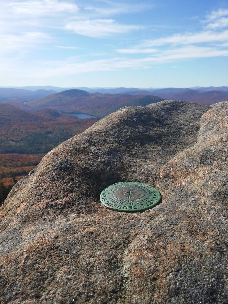
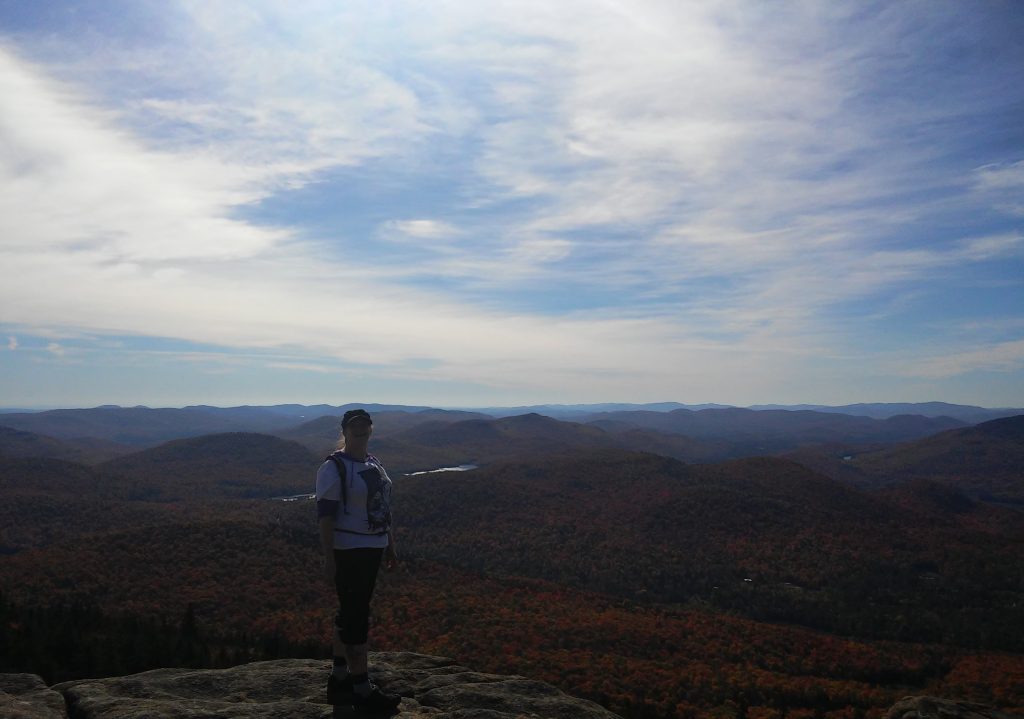
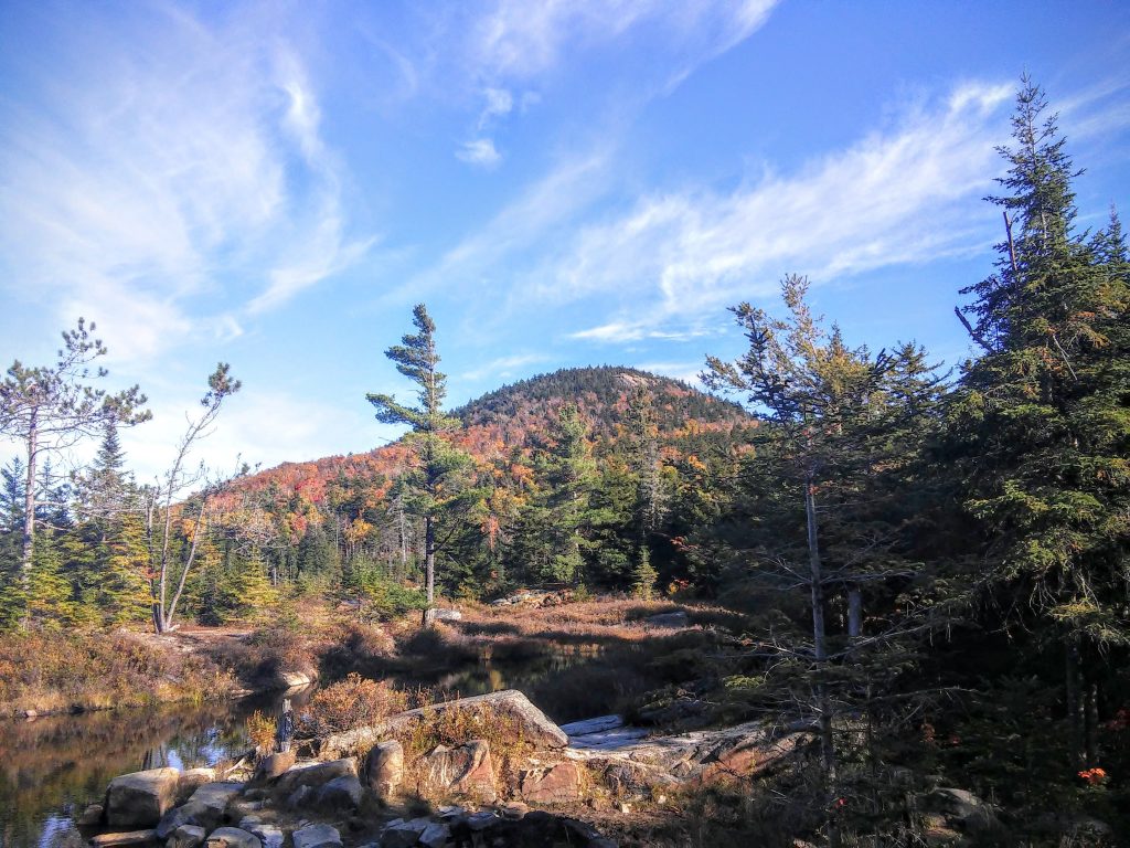
6. Crane Mountain, Adirondack Mountains
Johnsburg, NY
Elevation 3,241 ft
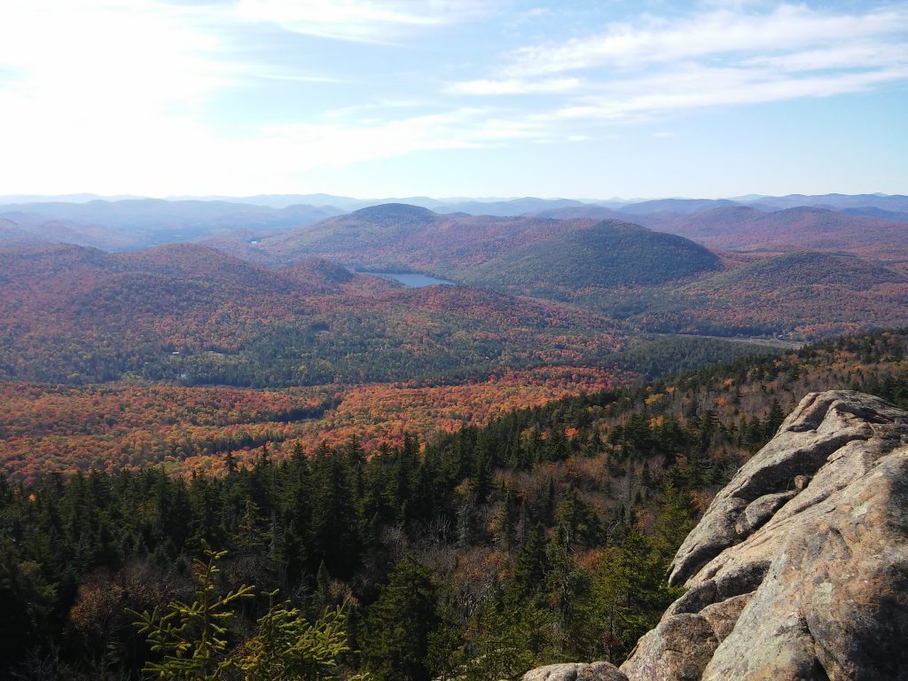
October 2016 – Nathan and I wanted to see the changing colors of the fall leaves so we chose a mountain that was somewhat close to us. There were some difficult parts for me. The ascent is always brutal when I hike in the Adirondacks. The views though, just wow! This hike was one of my favorites despite the difficulty of the climb.
I have no idea how many miles we hiked, only that I would do it again.
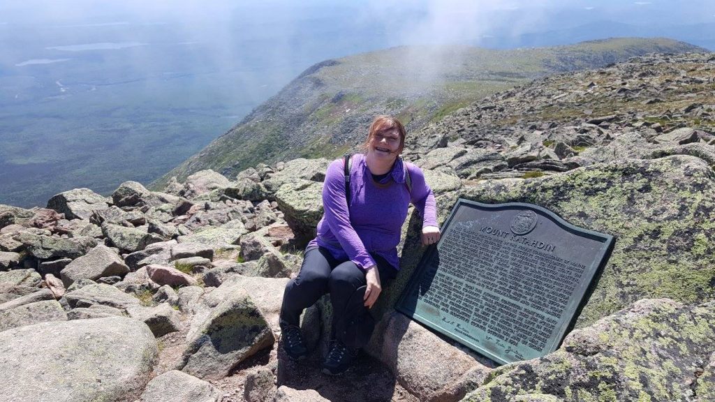
7. Baxter Peak (Mount Katahdin), Appalachian Mountains
Millinocket, ME – US National Natural Landmark
Elevation 5,268 ft
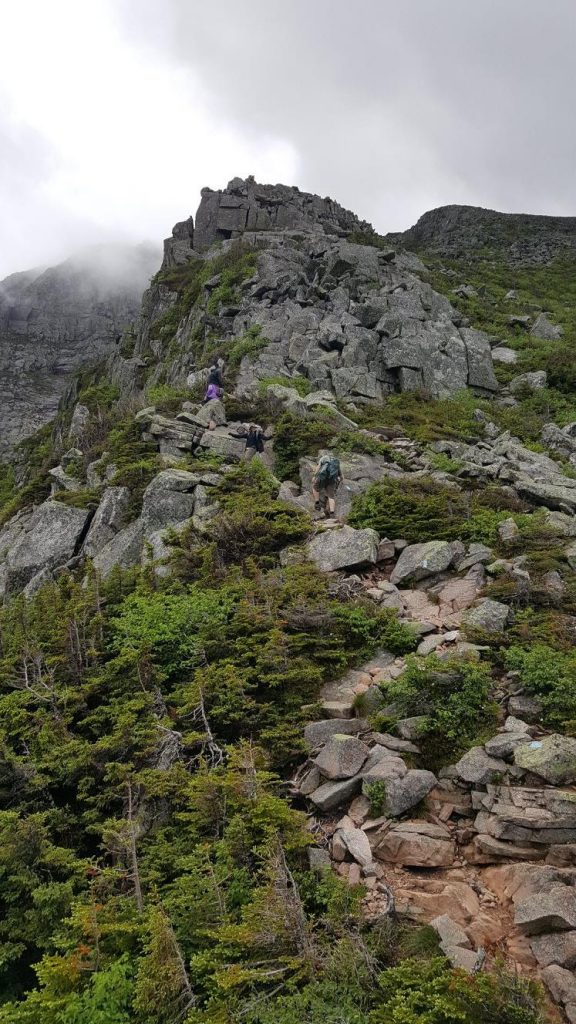
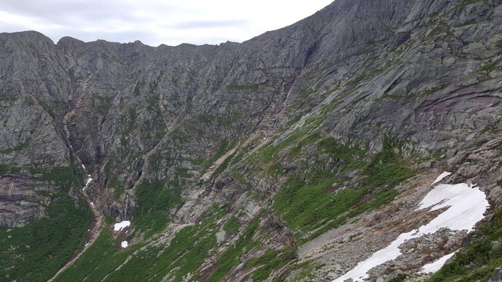
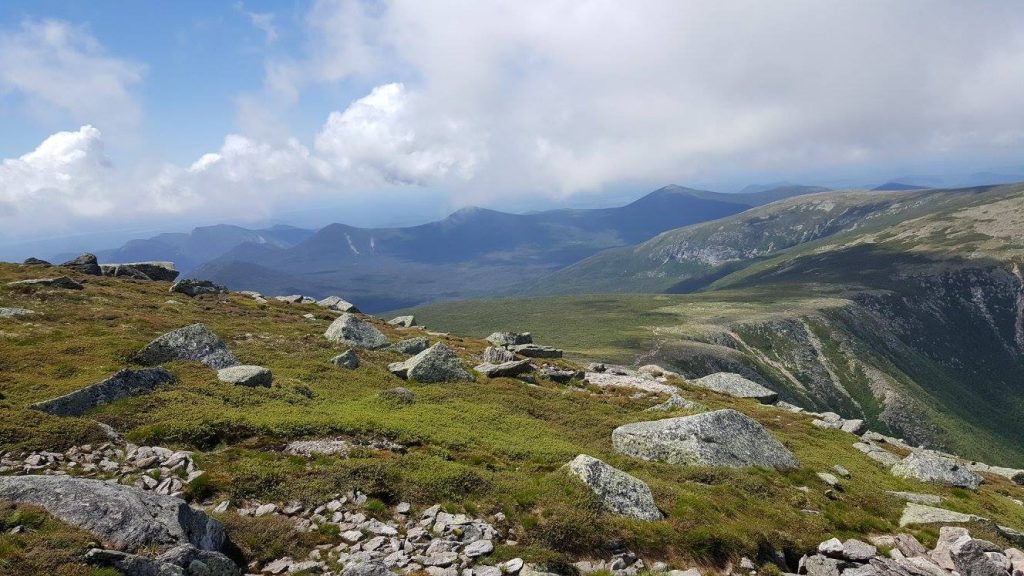
June 2017 – I would say this hike was challenging. A great feat to say the least.
When we started up the Cathedral Trail I must admit I had a great panic. It wasn’t that I was afraid of dying. Instead, thoughts about being maimed and stuck on the side of a mountain with very limited access for rescue is what almost got the better of me. I was fortunate to be with great people who know I’m my own worst enemy and their encouragement got me over my initial panic. Then I was able to enjoy myself on the trail, and the hike up was amazing!
Nathan and I parted ways with the rest of our hiking crew at the top of the mountain. They went on to walk the Knife Edge and Nathan and I took the Saddle Trail down.
I myself didn’t take any photos along the trails. Luckily, a few people in our hiking crew took photos so there is proof I made it to the top. Nathan and I hiked approximately 11 miles and made it back to camp just before the sun went down. Photo credit: Jessica Gonyea
All photos were taken by me unless otherwise stated.